Leominster nunnery, Leominster
Map

Map

Facts and practical information
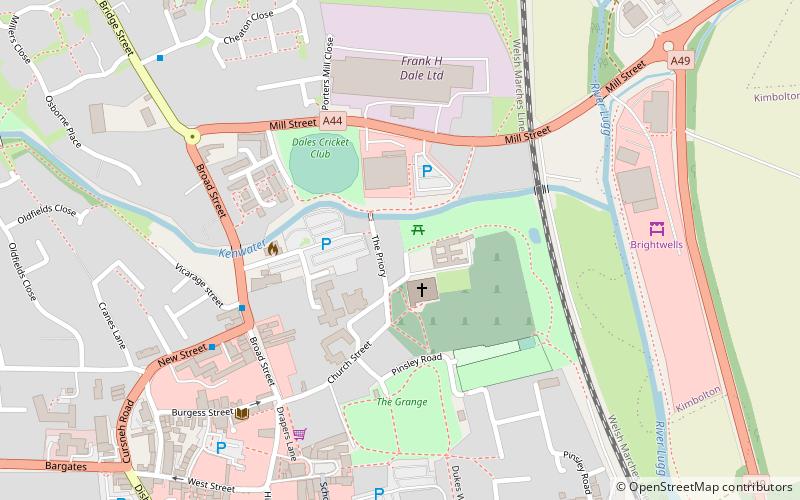
Leominster nunnery was an Anglo-Saxon nunnery at Leominster, Herefordshire, England. Founded in the ninth century, the nunnery is known to have been active in the eleventh century. The exact location of the nunnery is not known, but it may have been the site later occupied by Leominster Priory, a twelfth-century foundation. ()
Coordinates: 52°13'48"N, 2°44'10"W
Address
Leominster
ContactAdd
Social media
Add
Day trips
Leominster nunnery – popular in the area (distance from the attraction)
Nearby attractions include: Croft Castle, Hampton Court, Leominster Museum, St Mary's Church.
Frequently Asked Questions (FAQ)
Which popular attractions are close to Leominster nunnery?
Nearby attractions include Priory Church, Leominster (2 min walk), Grange Court, Leominster (5 min walk), Leominster Museum, Leominster (8 min walk).


