Ysgafell Wen, Snowdonia National Park
Map

Map

Facts and practical information
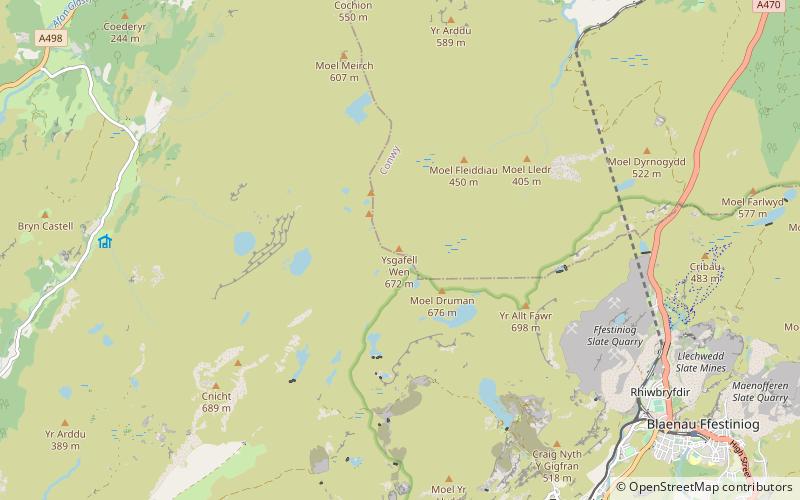
Ysgafell Wen is a subsidiary summit of Allt-fawr in Snowdonia, North Wales. It is the highest point on a broad ridge that stretches to the north-west of Moel Druman, and includes two other summits, Ysgafell Wen North Top. and Ysgafell Wen Far North Top. ()
Elevation: 2205 ftProminence: 187 ftCoordinates: 53°0'49"N, 3°59'18"W
Address
Snowdonia National Park
ContactAdd
Social media
Add
Day trips
Ysgafell Wen – popular in the area (distance from the attraction)
Nearby attractions include: Moel Druman, Cnicht North Top, Allt-fawr, Ysgafell Wen North Top.
Frequently Asked Questions (FAQ)
Which popular attractions are close to Ysgafell Wen?
Nearby attractions include Ysgafell Wen North Top, Snowdonia National Park (1 min walk), Ysgafell Wen Far North Top, Snowdonia National Park (1 min walk).


