Carlisle Bridge, Lancaster
Map

Gallery

Facts and practical information
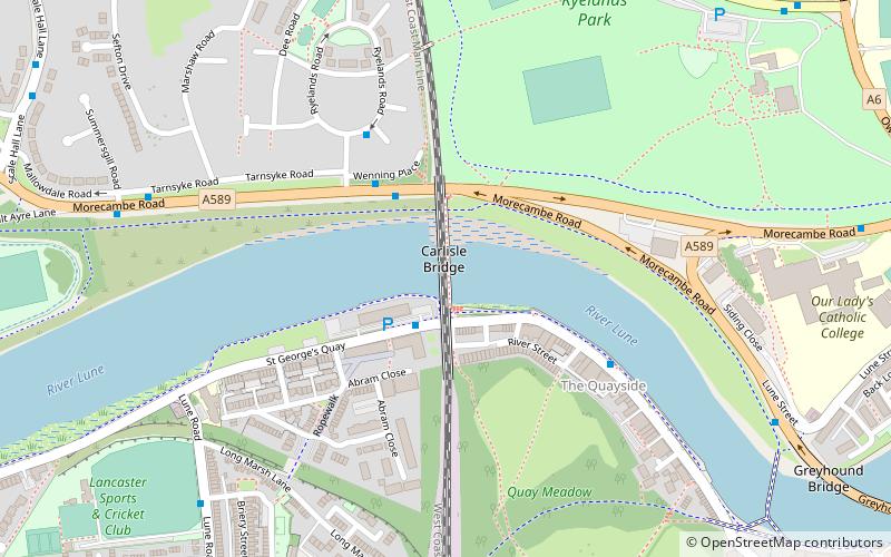
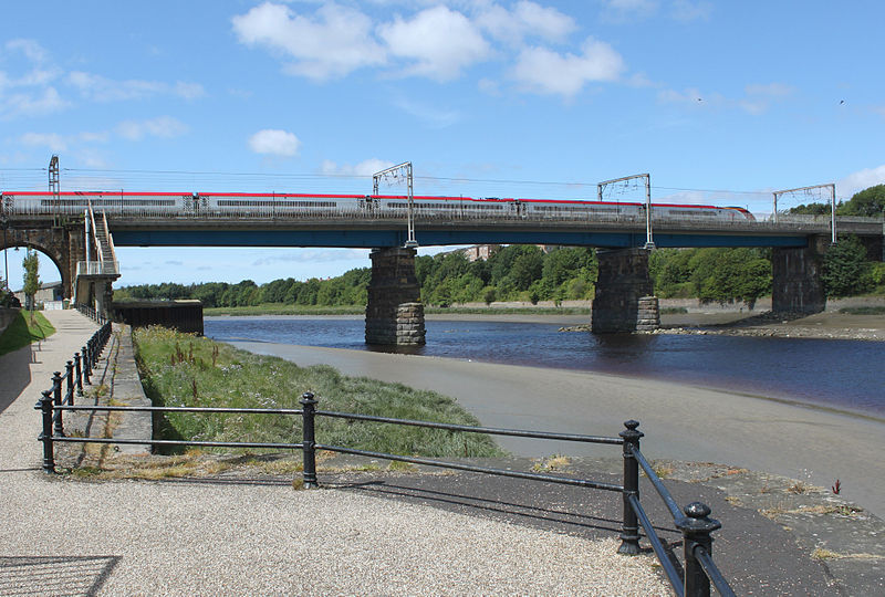
The Carlisle Bridge is the main railway bridge crossing the River Lune at Lancaster, Lancashire, England, carrying the West Coast Main Line over three 120-foot spans. This section of the railway, including the original version of the bridge, was the work of Thomas Brassey, William Mackenzie, and John Stephenson; it was built between 1844 and 1846 and opened in 1847. There is a walkway for public use attached to the east side of the bridge. ()
Opened: 1847 (179 years ago)Length: 360 ftCoordinates: 54°3'18"N, 2°48'31"W
Address
Lancaster
ContactAdd
Social media
Add
Day trips
Carlisle Bridge – popular in the area (distance from the attraction)
Nearby attractions include: Lancaster Castle, Lancaster Cathedral, Lancaster Priory, Judges' Lodgings.
Frequently Asked Questions (FAQ)
Which popular attractions are close to Carlisle Bridge?
Nearby attractions include Lancaster Maritime Museum, Lancaster (4 min walk), Lune Millennium Bridge, Lancaster (8 min walk), Lancaster Priory, Lancaster (9 min walk), Lancaster Castle, Lancaster (10 min walk).
How to get to Carlisle Bridge by public transport?
The nearest stations to Carlisle Bridge:
Bus
Train
Bus
- Carlisle Bridge • Lines: 1, 100, 1A, 2X, 40, 41, 6A, 8, 881 (3 min walk)
- Hindburn Place • Lines: 8 (4 min walk)
Train
- Lancaster (11 min walk)


