Westover Down, Isle of Wight

Map
Facts and practical information
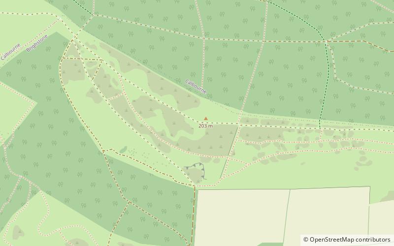
Westover Down is a chalk down on the Isle of Wight. It is located close to the village of Brook, in the southwest of the island, and rises to 205 metres at its highest point, northeast of the village. ()
Elevation: 666 ftCoordinates: 50°39'38"N, 1°25'37"W
Address
Isle of Wight
ContactAdd
Social media
Add
Day trips
Westover Down – popular in the area (distance from the attraction)
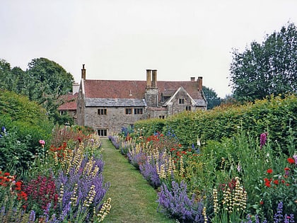
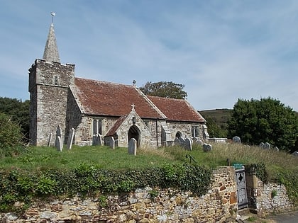
Nearby attractions include: Mottistone Manor, St Peter and St Paul's Church, The Longstone, All Saints' Church.
Frequently Asked Questions (FAQ)
Which popular attractions are close to Westover Down?
Nearby attractions include The Longstone, Isle of Wight (8 min walk), Mottistone Manor, Isle of Wight (15 min walk), St Peter and St Paul's Church, Isle of Wight (16 min walk), St Mary's Church, Isle of Wight (19 min walk).
How to get to Westover Down by public transport?
The nearest stations to Westover Down:
Bus
Bus
- Mottistone Estate • Lines: 12 (15 min walk)
- Sun Inn Hulverstone • Lines: 12 (17 min walk)


