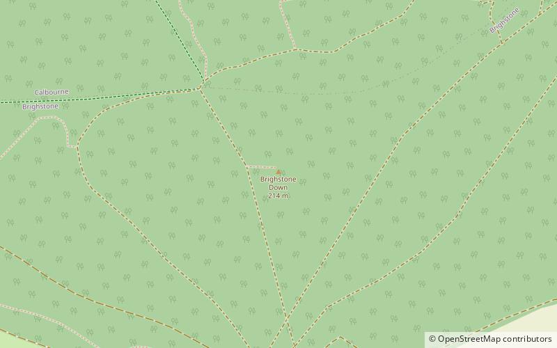
Brighstone Down, Isle of Wight
Map

Map

Facts and practical information
Brighstone Down is a chalk down on the Isle of Wight. It is located close to the village of Brighstone, in the southwest of the island, and rises to 214 metres at its highest point, northeast of the village of Mottistone. Towards the west part is called Mottistone Down, to the East, Shorwell Down. ()
Elevation: 702 ftProminence: 492 ftCoordinates: 50°39'38"N, 1°23'22"W
Address
Isle of Wight
ContactAdd
Social media
Add
Day trips
Brighstone Down – popular in the area (distance from the attraction)
Nearby attractions include: Rowridge transmitting station, All Saints' Church, Brighstone Forest, Westcourt Manor.
Frequently Asked Questions (FAQ)
How to get to Brighstone Down by public transport?
The nearest stations to Brighstone Down:
Bus
Bus
- Moortown Lane • Lines: 12 (31 min walk)
- Gaggerhill Lane • Lines: 12 (32 min walk)


