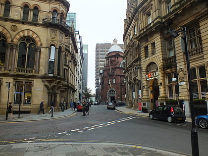
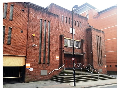
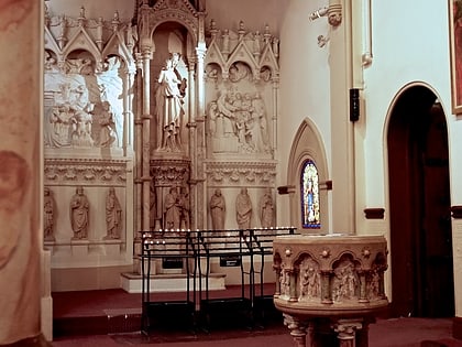
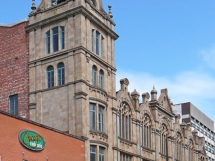
Albert Hall, Manchester
Map
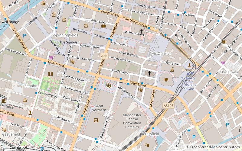
Map

Facts and practical information
The Albert Hall is a music venue in Manchester, England. ()
Opened: 1910 (116 years ago)Architectural style: Neo-BaroqueCoordinates: 53°28'42"N, 2°14'52"W
Day trips
Albert Hall – popular in the area (distance from the attraction)
Nearby attractions include: Deansgate, King Street, Albert Square, The Briton's Protection.
Frequently Asked Questions (FAQ)
Which popular attractions are close to Albert Hall?
Nearby attractions include Manchester Reform Synagogue, Manchester (1 min walk), Great Northern Tower, Manchester (2 min walk), Peterloo Massacre, Manchester (2 min walk), Manchester Library & Information Service, Manchester (2 min walk).
How to get to Albert Hall by public transport?
The nearest stations to Albert Hall:
Bus
Tram
Train
Bus
- Manchester City Centre, Peter Street / Edwardian Hotel • Lines: 191, 197 (1 min walk)
- Quay Street/Opera House • Lines: 1 (3 min walk)
Tram
- St. Peter's Square • Lines: Airp, Altr, Asht, Bury, Eccl, EDid, Mcuk, Picc, Roch, Shaw, Vict (6 min walk)
- Deansgate-Castlefield • Lines: Airp, Altr, Asht, Bury, Dean, Eccl, EDid, Mcuk, Picc, Roch, Shaw, Vict (7 min walk)
Train
- Deansgate (9 min walk)
- Manchester Oxford Road (10 min walk)
 Metrolink
 Metrolink / Rail
