Washing Wells Roman Fort, Newcastle upon Tyne
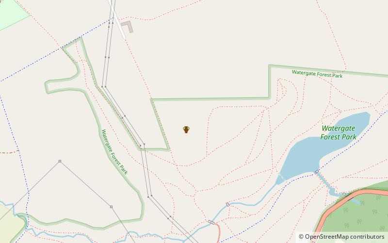
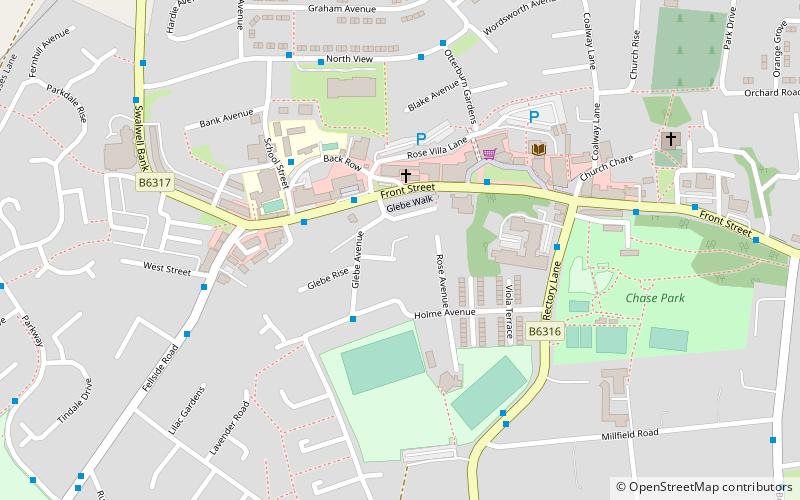
Map
Facts and practical information
Washing Wells Roman Fort, was a fort in the Roman province of Britannia. Its ruins are located at southeast of Whickham in Gateshead, Tyne and Wear. ()
Coordinates: 54°56'10"N, 1°39'30"W
Address
Newcastle upon Tyne
ContactAdd
Social media
Add
Getting there by public transportation
Public transportation stops near this location
- Bus
- Train
 Bus
Bus
- Calculate routeWhickham Highway-The Highwayman-Nw/B 15 min walk
- Calculate routeDunston 30 min walk
- Calculate routeSunniside 33 min walk
Day trips


Frequently Asked Questions (FAQ)
How to get to Washing Wells Roman Fort by public transport?
The nearest stations to Washing Wells Roman Fort:
Bus
Train
Bus
- Whickham Highway-The Highwayman-Nw/B • Lines: 97 (15 min walk)
Train
- Dunston (30 min walk)
- Sunniside (33 min walk)