Hunsdon Mead, Harlow
Map

Map

Facts and practical information
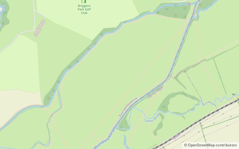
Hunsdon Mead is a 34 hectare biological Site of Special Scientific Interest west of Harlow and east of Roydon in Essex. The site is partly in Essex and partly in Hertfordshire, and it is jointly owned and managed by the Essex Wildlife Trust and the Herts and Middlesex Wildlife Trust. The SSSI also includes part of the neighbouring Roydon Mead. The planning authorities are East Hertfordshire District Council and Epping Forest District Council. Hunsdon Mead is registered common land. ()
Area: 67.95 acres (0.1062 mi²)Coordinates: 51°46'47"N, 0°3'15"E
Address
Harlow
ContactAdd
Social media
Add
Day trips
Hunsdon Mead – popular in the area (distance from the attraction)
Nearby attractions include: Harlow Greyhound Stadium, St Peter's Church, St James' Church, Church of St Mary the Virgin.
Frequently Asked Questions (FAQ)
Which popular attractions are close to Hunsdon Mead?
Nearby attractions include Roydon United Reformed Church, Roydon (18 min walk), Harlow Greyhound Stadium, Harlow (18 min walk), St Peter's Church, Roydon (22 min walk), Church of St Mary the Virgin, Harlow (22 min walk).
How to get to Hunsdon Mead by public transport?
The nearest stations to Hunsdon Mead:
Train
Bus
Train
- Roydon (22 min walk)
Bus
- Barrows Road • Lines: 381 (25 min walk)
- Telephone Exchange • Lines: 381 (25 min walk)


