Owletts

Gallery (1)
Map
Map
Facts and practical information
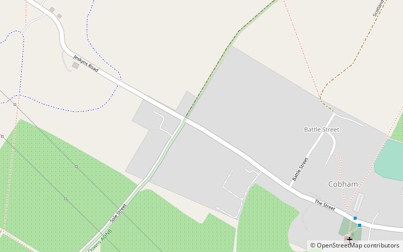
Owletts is a country house 0.8 miles to the northwest of the village of Cobham in Kent, England. ()
Built: 1683 (343 years ago)Coordinates: 51°23'35"N, 0°23'31"E
Day trips
Owletts is a country house 0.8 miles to the northwest of the village of Cobham in Kent, England. ()
Where to next? Visit ![]() England region page or discover the top tourist attractions in United Kingdom.
England region page or discover the top tourist attractions in United Kingdom.


