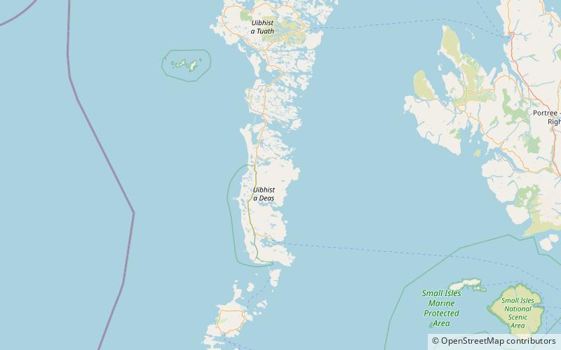
Hecla, South Uist
Map

Map

Facts and practical information
Hecla or Thacla is a mountain on the island of South Uist in the Outer Hebrides of Scotland. With a height of 606 metres, it is the second-highest hill on the island. The name Hecla is Norse for "serrated". ()
Elevation: 1988 ftProminence: 1007 ftCoordinates: 57°17'25"N, 7°16'17"W
Address
South Uist
ContactAdd
Social media
Add
Day trips
Hecla – popular in the area (distance from the attraction)
Nearby attractions include: Our Lady of the Isles, Ormacleit Castle, Bornish, Beinn Mhòr.


