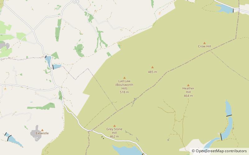
Boulsworth Hill
#1688 among destinations in the United Kingdom


Facts and practical information
Boulsworth Hill is a large expanse of moorland, the highest point of the South Pennines of south-eastern Lancashire, England, separating the Borough of Pendle from Calderdale. ()
EnglandUnited Kingdom
Boulsworth Hill – popular in the area (distance from the attraction)
Nearby attractions include: Pendle Heritage Centre, Queen Street Mill Textile Museum, Atom, Brontë Waterfall.
 Historical place, Museum
Pendle Heritage Centre, Nelson
125 min walk • Pendle Heritage Centre is a museum and visitor centre in Barrowford, Lancashire, England, dedicated to the history and heritage of Pendle.
 Museum, Specialty museum, Science museum
Queen Street Mill Textile Museum, Burnley
96 min walk • Queen Street Mill is a former weaving mill in Harle Syke, a suburb to the north-east of Burnley, Lancashire, that is a Grade I listed building. It was built in 1894 for the Queen Street Manufacturing Company.
 Monuments and statues
Atom
59 min walk • Panopticons is an arts and regeneration project of the East Lancashire Environmental Arts Network managed by Mid Pennine Arts. It involved the construction of series of 21st century landmarks, or Panopticons, across East Lancashire, England, as symbols of the renaissance of the area.
 Natural attraction, Park, Waterfall
Brontë Waterfall, Haworth
109 min walk • The Brontë Waterfall is a small waterfall located about a mile south west of Stanbury, near Haworth, West Yorkshire, England. The area surrounding the waterfall is mainly moorland and farmland but is part of Brontë Country. It is an area of outstanding beauty and famous for its association with the Brontë sisters.
 Gothic Revival architecture, Church
St Andrew's Church, Burnley
135 min walk • St Andrew's Church is in Colne Road, Burnley, Lancashire, England. It is an active Anglican parish church in the deanery of Burnley, the archdeaconry of Blackburn, and the diocese of Blackburn. Its benefice is united with those of St Margaret, Burnley, and St James, Burnley.
 City hall
Nelson Town Hall, Nelson
118 min walk • Nelson Town Hall is a municipal building in Market Square, Nelson, Lancashire, England. The building is the headquarters for both Pendle Borough Council and Nelson Town Council.
 Church
St Bartholomew's Church
96 min walk • St Bartholomew's Church is in the town of Colne in Lancashire, England. It is an active Anglican parish church in the Diocese of Blackburn.
 Area
AreaBrierfield, Nelson
131 min walk • Brierfield is a town and civil parish in the Borough of Pendle, in Lancashire, England. It is 2.5 miles north east of Burnley, 1 mile south west of Nelson, and 0.5 miles north east of Reedley. The parish had a population of 8,193, at the census of 2011.
 Gothic Revival architecture, Church
St James' Church, Burnley
99 min walk • St James' Church is in Church Street, Briercliffe, Lancashire, England. It is an active Anglican parish church in the deanery of Burnley, the archdeaconry of Blackburn and the diocese of Blackburn.
 Museum
Hardcastle Crags
115 min walk • Hardcastle Crags is a wooded Pennine valley in West Yorkshire, England, owned by the National Trust. Historically part of the West Riding of Yorkshire, it lies approximately 2 miles north of the town of Hebden Bridge and 10 miles west of the town of Halifax.
 Town
TownColne
96 min walk • Colne is a market town and civil parish in the Borough of Pendle in Lancashire, England. Located 3 mi northeast of Nelson, 6 mi north-east of Burnley, 25 mi east of Preston and 30 mi west of Leeds.
