Wroxham Broad, Norfolk Broads
Map

Gallery

Facts and practical information
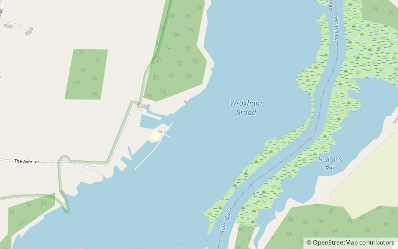
Wroxham Broad is an area of open water alongside the River Bure near the village of Wroxham in Norfolk, England within The Broads National Park. The Norfolk Broads were formed by the flooding of ancient peat workings. Wroxham Broad has an area of 34.4 hectares and a mean depth of 1.3 metres. It lies to the west of the Bure, with two navigable openings between river and broad. The village and broad lie in an area of fairly intensive agriculture, with areas of wet woodland adjoining the broad and river. ()
Coordinates: 52°41'56"N, 1°25'5"E
Day trips
Wroxham Broad – popular in the area (distance from the attraction)
Nearby attractions include: Barton House Railway, Trafford Mausoleum, Hoveton Great Broad, Wroxham Miniature Worlds.
Frequently Asked Questions (FAQ)
Which popular attractions are close to Wroxham Broad?
Nearby attractions include Hoveton Great Broad, Norfolk Broads (15 min walk), Barton House Railway, Wroxham and Hoveton (19 min walk), Salhouse Broad, Norfolk Broads (22 min walk).
How to get to Wroxham Broad by public transport?
The nearest stations to Wroxham Broad:
Bus
Train
Bus
- Park Lane • Lines: 12, 32, 36, 53, X11 (21 min walk)
- Park Road • Lines: 12, 32, 36, 53, X11 (21 min walk)
Train
- Hoveton and Wroxham (31 min walk)


