Mynydd Llangatwg, Brecon Beacons


Facts and practical information
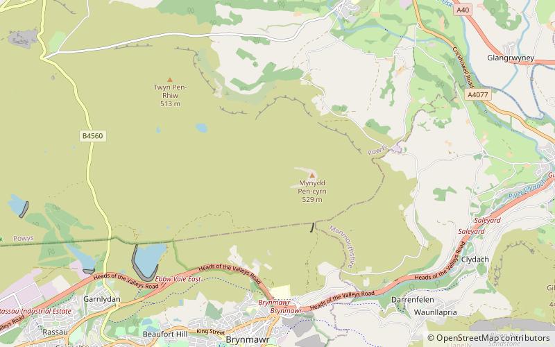
Mynydd Llangatwg or Llangattock Mountain is a hill in the Brecon Beacons National Park in the county of Powys, south Wales. It is named from the village of Llangatwg which sits in the valley of the River Usk to the north of it. It is essentially an undulating plateau rising in the west to a height of 530 metres at grid reference SO171157 and in the east to a height of 529 metres at Hen Dy-aderyn / Twr Pen-cyrn. This spot is marked by a trig point. The shallow pool of Pwll Gwy-rhoc sits in a broad depression towards the northern edge of the plateau whilst a smaller pool frequently occupies a large shakehole a few hundred metres to its west. The hill forms an impressive northern scarp overlooking the Usk valley and commonly referred to as the Llangattock Escarpment. Its southern margins are more subdued. Its eastern end is defined by the drops into the Clydach Gorge. Beyond the B4560 to the west the hill merges with Mynydd Llangynidr which has a similar character. ()
Brecon Beacons
Mynydd Llangatwg – popular in the area (distance from the attraction)
Nearby attractions include: Bear Hotel, Ogof y Daren Cilau, Crickhowell Castle, Crickhowell Bridge.


