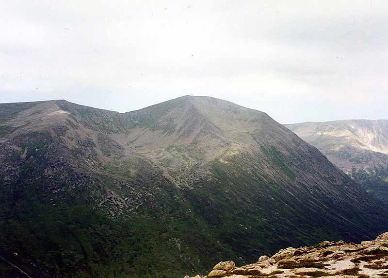
Càrn a' Mhàim, Cairngorms National Park

Gallery (2)
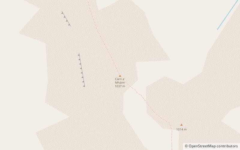
Map
Map
Gallery
Facts and practical information
Càrn a' Mhàim is a Scottish mountain situated in the inner part of the Cairngorms range, some 15 kilometres west of Braemar in the county of Aberdeenshire. ()
Address
Cairngorms National Park
ContactAdd
Social media
Add
Day trips


