Penton Hook Lock, Staines-upon-Thames
Map
Gallery
Facts and practical information
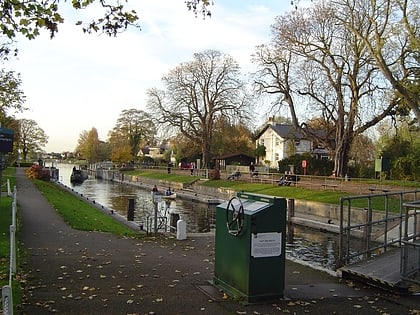
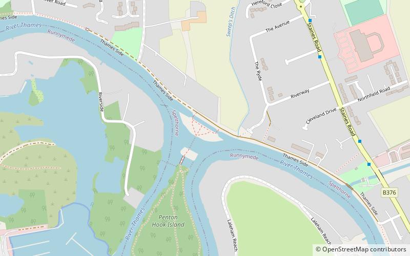
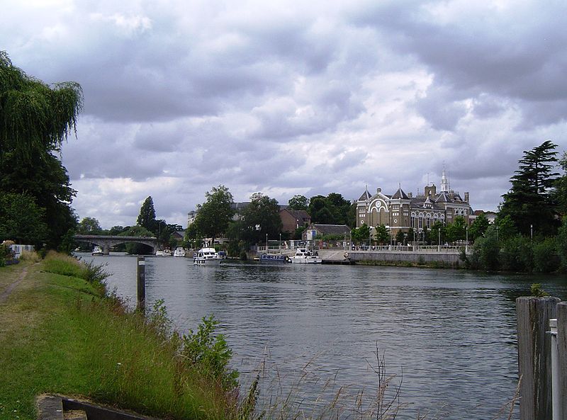
Penton Hook Lock is the sixth lowest lock of forty four on the non-tidal reaches of the River Thames in England. It faces an island which was until its construction a pronounced meander and is on the site of its seasonal cutoff. It is against the left bank marking the church parish medieval border of Laleham and Staines upon Thames in Surrey for many centuries. Until 1965 their county was Middlesex. At 266 ft it is the third longest lock on the river. ()
Coordinates: 51°24'53"N, 0°30'1"W
Day trips
Penton Hook Lock – popular in the area (distance from the attraction)
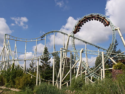
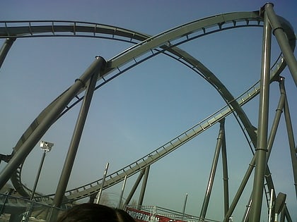
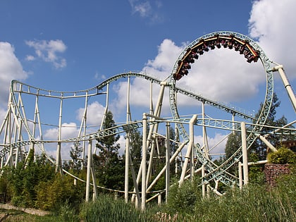
Nearby attractions include: Thorpe Park, Stealth Roller Coaster, The Swarm Roller Coaster, Saw - The Ride.
Frequently Asked Questions (FAQ)
Which popular attractions are close to Penton Hook Lock?
Nearby attractions include Penton Hook Island, Staines-upon-Thames (6 min walk), Penton Hook Marina, Chertsey (10 min walk), Truss's Island, Staines-upon-Thames (17 min walk), Vortex, Chertsey (22 min walk).
How to get to Penton Hook Lock by public transport?
The nearest stations to Penton Hook Lock:
Bus
Bus
- The Lucan Arms • Lines: 458 (7 min walk)
- Waterworks • Lines: 458 (8 min walk)
