Aberdeen Synagogue, Aberdeen

Map
Facts and practical information
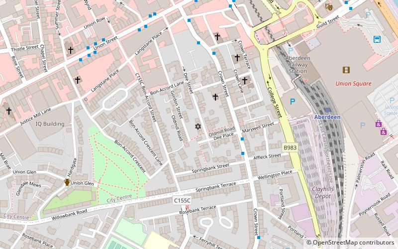
The Aberdeen Synagogue and Jewish Community Centre maintains a shul on Dee Street in the centre of Aberdeen. This is the northernmost shul in the British Isles. ()
Coordinates: 57°8'32"N, 2°6'11"W
Day trips
Aberdeen Synagogue – popular in the area (distance from the attraction)
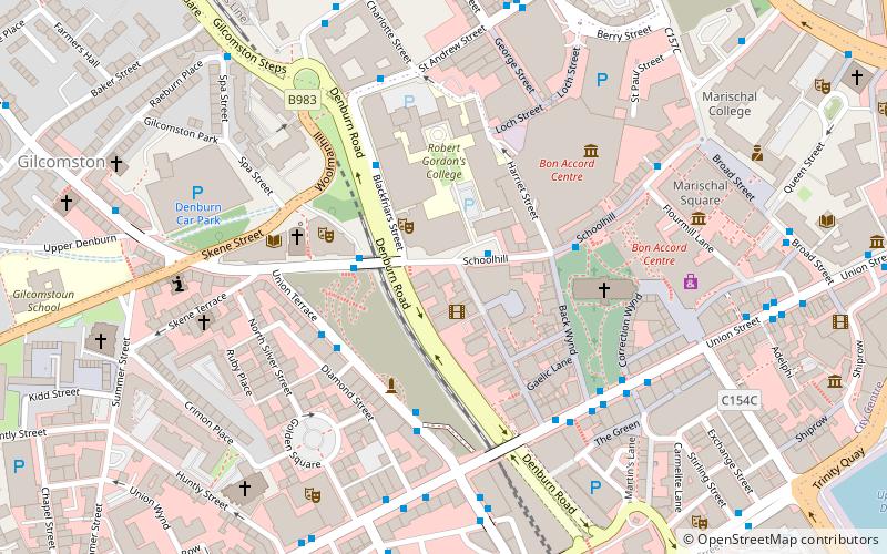
Nearby attractions include: Union Street, Bon Accord & St Nicholas, Union Square Aberdeen, Trinity Centre.
Frequently Asked Questions (FAQ)
Which popular attractions are close to Aberdeen Synagogue?
Nearby attractions include St John's, Aberdeen (3 min walk), Lang Stane, Aberdeen (5 min walk), Guild Street, Aberdeen (5 min walk), Union Street, Aberdeen (5 min walk).
How to get to Aberdeen Synagogue by public transport?
The nearest stations to Aberdeen Synagogue:
Train
Bus
Train
- Aberdeen (6 min walk)
Bus
- Aberdeen Bus Station (8 min walk)
- Adelphi • Lines: 727 (12 min walk)


