Drosgl, Snowdonia National Park
Map
Map

Facts and practical information
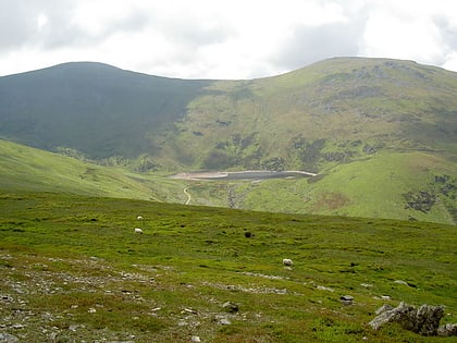
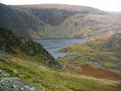
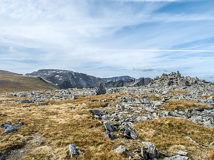
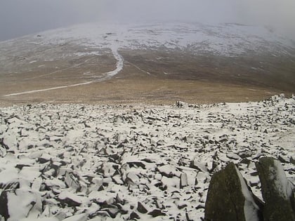
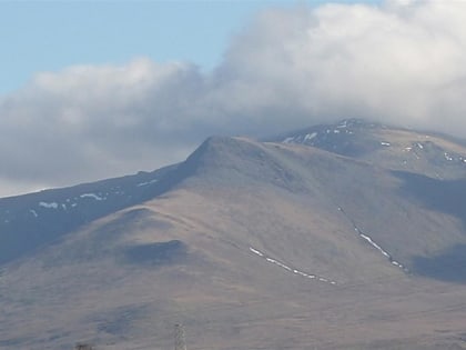
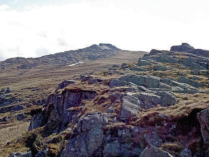
Y Drosgl is a summit of the Carneddau range in Snowdonia, Wales, and forms a part of the western Carneddau, also known as the Berau, meaning 'stacks' or 'ricks'. It lies on a ridge heading west from Carnedd Gwenllian and Bera Mawr towards Bethesda. A large ancient burial cairn, dating from the Bronze Age, adorns the summit, from where good views of Cwm Caseg and the Menai can be seen. ()
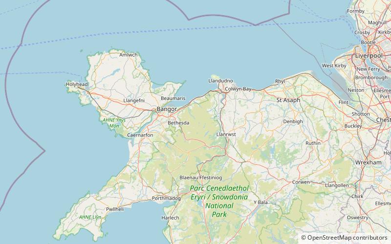
Elevation: 2484 ftProminence: 121 ftCoordinates: 53°10'58"N, 3°57'59"W
Address
Snowdonia National Park
ContactAdd
Social media
Add
Day trips
Drosgl – popular in the area (distance from the attraction)
Nearby attractions include: Llyn Melynllyn, Foel-fras, Llyn Dulyn, Carnedd Gwenllian.
Frequently Asked Questions (FAQ)
Which popular attractions are close to Drosgl?
Nearby attractions include Gyrn Wigau, Snowdonia National Park (1 min walk), Carnedd Gwenllian, Snowdonia National Park (1 min walk), Craig Eigiau, Snowdonia National Park (16 min walk), Foel Grach, Snowdonia National Park (16 min walk).


