Trek Zone

Vale of Berkeley, Dursley
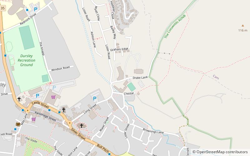
#2 among attractions in Dursley

Nature, Natural attraction, Valley
Vale of Berkeley location map
Map

Facts and practical information

Coordinates: 51°40'60"N, 2°21'0"W
Address

Dursley United Kingdom

ContactAdd
Social media
Add
Day trips

Vale of Berkeley – popular in the area (distance from the attraction)

Nearby attractions include: Newark Park, Cam Congregational Church, St. Mary the Virgin Church, Tyndale Monument.

  • newark park cotswold water park3.5 miSE
  • cam congregational church dursley0.6 miN
  • st mary the virgin church wotton under edge3.1 miS
  • tyndale monument cotswold water park1.9 miSW
  • nympsfield long barrow cotswold water park2.8 miNE
  • coaley peak cotswold water park2.8 miNE
  • owlpen manor stroud2.5 miE
  • uley long barrow stroud2.2 miNE
  • ancient ram inn wotton under edge3.1 miS
  • nibley knoll cotswold water park1.9 miSW
  • wotton heritage centre wotton under edge3.2 miS

Frequently Asked Questions (FAQ)

Which popular attractions are close to Vale of Berkeley?

Nearby attractions include Lister Hall, Cotswold Water Park (4 min walk), Cam Congregational Church, Dursley (15 min walk).

Where to next? Visit england England region page or discover the top tourist attractions in United Kingdom.