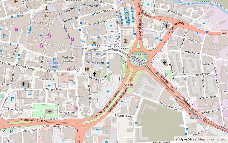
St George's Church, Wolverhampton
Map

Map

Facts and practical information
St George's Church, Wolverhampton is a Grade II listed former parish church in the Church of England in Wolverhampton ()
Completed: 1830 (196 years ago)Coordinates: 52°34'59"N, 2°7'23"W
Day trips
St George's Church – popular in the area (distance from the attraction)
Nearby attractions include: Wolverhampton Art Gallery, Molineux Stadium, Monmore Green Stadium, St Peter's Collegiate Church.
Frequently Asked Questions (FAQ)
Which popular attractions are close to St George's Church?
Nearby attractions include St Mary and St John Church, Wolverhampton (4 min walk), St John's Church, Wolverhampton (7 min walk), Grand Theatre, Wolverhampton (7 min walk), Wolverhampton Art Gallery, Wolverhampton (8 min walk).
How to get to St George's Church by public transport?
The nearest stations to St George's Church:
Bus
Tram
Train
Bus
- An • Lines: 1 (1 min walk)
- Am • Lines: 25, 26A, 27, 27A, 713, 8, X8 (1 min walk)
Tram
- Wolverhampton St Georges • Lines: 1 (3 min walk)
- The Royal • Lines: 1 (8 min walk)
Train
- Wolverhampton (9 min walk)


