Dun Ardtreck, Isle of Skye
Map

Map

Facts and practical information
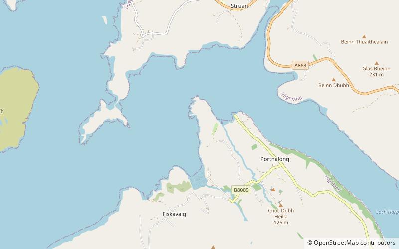
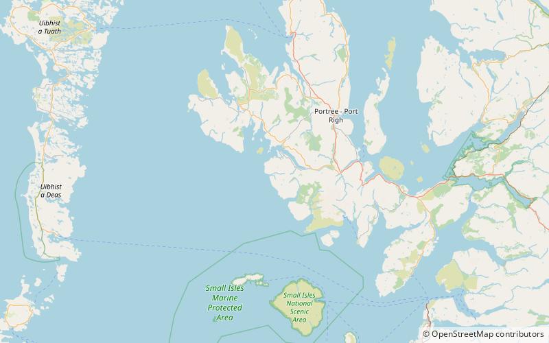
Dun Ardtreck is a D-shaped dun, or "semi-broch", located on the west coast of the island of Skye, in Scotland. ()
Coordinates: 57°20'5"N, 6°25'48"W
Address
Isle of Skye
ContactAdd
Social media
Add
Day trips
Dun Ardtreck – popular in the area (distance from the attraction)
Nearby attractions include: Dun Beag, Tarner Island, Wiay, Inner Hebrides, Talisker Distillery.
Frequently Asked Questions (FAQ)
How to get to Dun Ardtreck by public transport?
The nearest stations to Dun Ardtreck:
Bus
Bus
- Hostel Road End • Lines: 54 (28 min walk)


