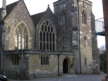
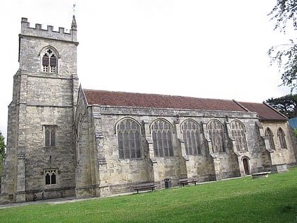
The King's House, Salisbury
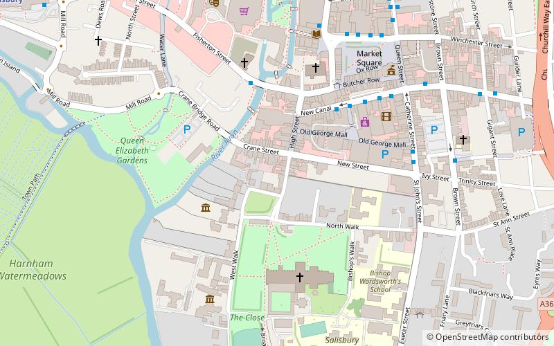
Map
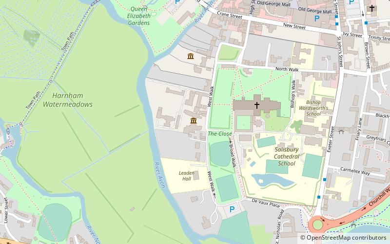
Map

Facts and practical information
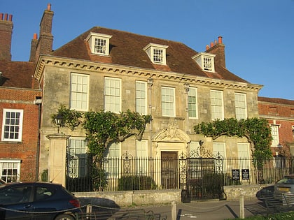
The King’s House is a Grade I listed building in Salisbury Cathedral Close, Wiltshire, England. Since 1981 it has accommodated the Salisbury Museum and associated galleries. ()
Coordinates: 51°3'52"N, 1°48'0"W
Address
Salisbury
ContactAdd
Social media
Add
Day trips
The King's House – popular in the area (distance from the attraction)
Nearby attractions include: Salisbury Cathedral, The Salisbury Museum, The Rifles Berkshire and Wiltshire Museum, Mompesson House.
Frequently Asked Questions (FAQ)
Which popular attractions are close to The King's House?
Nearby attractions include The Salisbury Museum, Salisbury (1 min walk), Arundells, Salisbury (3 min walk), Salisbury Cathedral, Salisbury (3 min walk), The Rifles Berkshire and Wiltshire Museum, Salisbury (4 min walk).
How to get to The King's House by public transport?
The nearest stations to The King's House:
Bus
Train
Bus
- Exeter Street, St Osmunds School • Lines: X3 (7 min walk)
- Salisbury City Centre, Bridge Street • Lines: Red 1, Red 3, Red 7, Red 8 (8 min walk)
Train
- Salisbury (13 min walk)


