Our Lady Help of Christians Church, Prescot

Gallery (2)
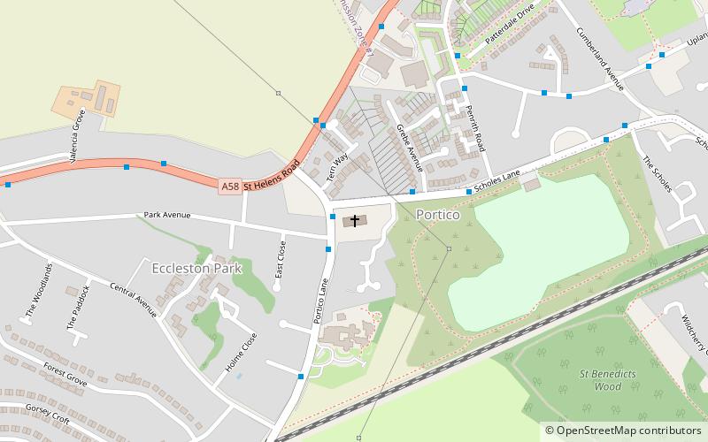
Map

Map
Gallery
Facts and practical information
Our Lady Help of Christians Church is a Roman Catholic Parish church in the Portico area of Prescot, Merseyside. It was founded in 1790 by the Society of Jesus. ()
Coordinates: 53°26'3"N, 2°46'39"W
Getting there by public transportation
Public transportation stops near this location
- Train
 Train
Train
- Calculate routeEccleston Park 7 min walk
- Calculate routeThatto Heath 20 min walk
- Calculate routePrescot 30 min walk
- Calculate routeRainhill 33 min walk
Day trips


Frequently Asked Questions (FAQ)
How to get to Our Lady Help of Christians Church by public transport?
The nearest stations to Our Lady Help of Christians Church:
Train
Train
- Eccleston Park (7 min walk)
- Thatto Heath (20 min walk)