Brading Down, Brading
Map

Map

Facts and practical information
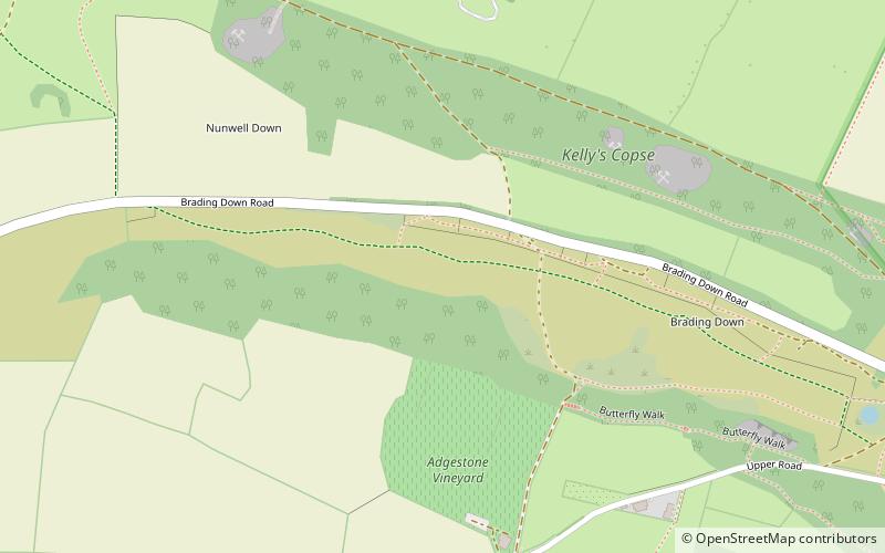
Brading Down is a chalk down southwest of Brading, Isle of Wight. It is a prominent hill which overlooks Sandown Bay, with views across the bay towards Shanklin, Sandown and Culver Down. It is a Local Nature Reserve. ()
Elevation: 404 ftCoordinates: 50°40'43"N, 1°9'33"W
Address
Brading
ContactAdd
Social media
Add
Day trips
Brading Down – popular in the area (distance from the attraction)
Nearby attractions include: Wildheart Animal Sanctuary, Brading Roman Villa, St Mary's Church, Alverstone Mead Nature Reserve.
Frequently Asked Questions (FAQ)
Which popular attractions are close to Brading Down?
Nearby attractions include Brading Roman Villa, Brading (13 min walk), Morton Manor, Brading (16 min walk), Nunwell House, Brading (18 min walk), St Mary's Church, Brading (20 min walk).


