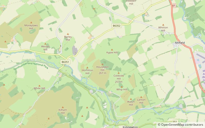
Housedon Hill
Map

Map

Facts and practical information
Housedon Hill is a hill on the northwestern edge of the Cheviot Hills in Northumberland, England. It is the northernmost Marilyn in England, the summit lying only about 4 miles from the Scottish border, which runs to the north and west. ()
Elevation: 873 ftProminence: 597 ftCoordinates: 55°35'25"N, 2°9'23"W
Location
England
ContactAdd
Social media
Add
Day trips
Housedon Hill – popular in the area (distance from the attraction)
Nearby attractions include: Etal Castle, Ford Castle, Kirk Yetholm, Lady Waterford Hall.


