Bamburgh Sword, Bamburgh

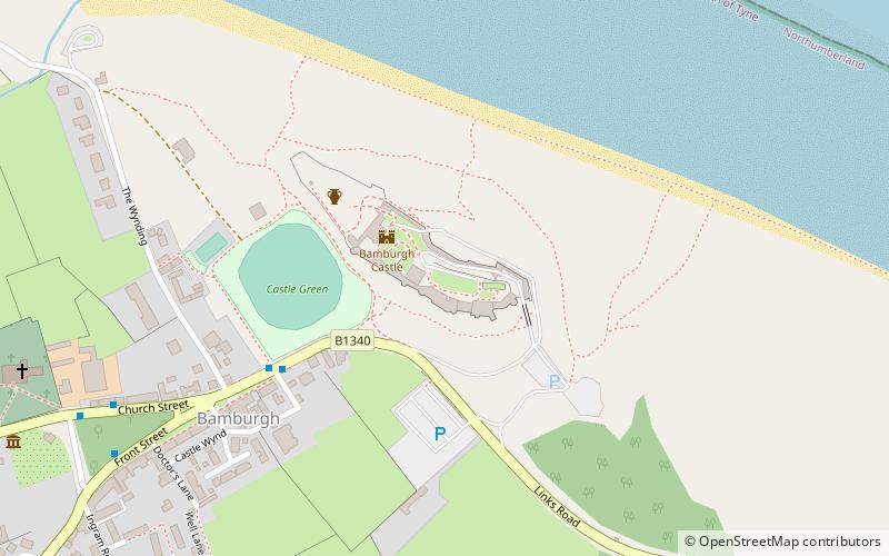
Map
Facts and practical information
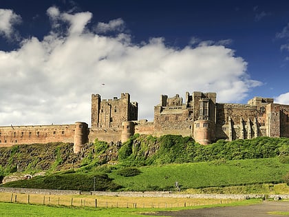
The Bamburgh Sword is an Anglo-Saxon artefact from the seventh century. It was uncovered during an archaeological excavation at Bamburgh Castle in 1960 by Brian Hope-Taylor. The sword was missing until his death in 2001, when it was found in a suitcase in his garage. It is unique amongst swords of its period, having been formed by six strands of iron pattern welded into a blade, resulting in speculation that it may have been the sword of a king. ()
Coordinates: 55°36'32"N, 1°42'37"W
Address
Bamburgh
ContactAdd
Social media
Add
Day trips
Bamburgh Sword – popular in the area (distance from the attraction)
Nearby attractions include: Bamburgh Lighthouse, Monument to Grace Darling, St Aidan's Church, Bamburgh Castle.
Frequently Asked Questions (FAQ)
Which popular attractions are close to Bamburgh Sword?
Nearby attractions include Bamburgh Castle, Bamburgh (3 min walk), RNLI Grace Darling Museum, Bamburgh (6 min walk), Bamburgh Dunes, Bamburgh (8 min walk), St Aidan's Church, Bamburgh (9 min walk).


