Nos. 33, 35 & 37 Clwyd Street, Ruthin

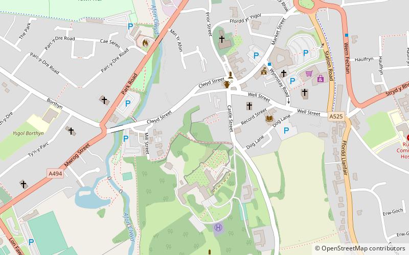
Map
Facts and practical information
Nos.33, 35 & 37 Clwyd Street, Ruthin is a C16 timber framed grade II building in Ruthin, Denbighshire, which was listed on 16 May 1978 by Cadw. Today, it is used as a hop. ()
Coordinates: 53°6'48"N, 3°18'42"W
Address
Ruthin
ContactAdd
Social media
Add
Day trips
Nos. 33, 35 & 37 Clwyd Street – popular in the area (distance from the attraction)
Nearby attractions include: Ruthin Craft Centre, Nantclwyd y Dre, Collegiate and Parochial Church of St Peter, Ruthin Gaol.
Frequently Asked Questions (FAQ)
Which popular attractions are close to Nos. 33, 35 & 37 Clwyd Street?
Nearby attractions include Nantclwyd y Dre, Ruthin (1 min walk), Maen Huail, Ruthin (3 min walk), Peers Memorial, Ruthin (3 min walk), Ruthin Castle, Ruthin (3 min walk).


