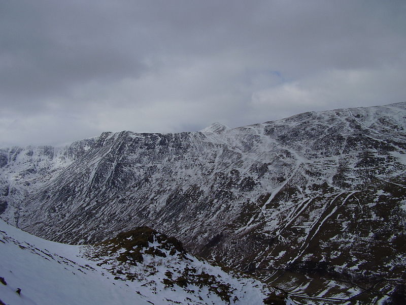
Birkhouse Moor, Grasmere

Gallery (2)
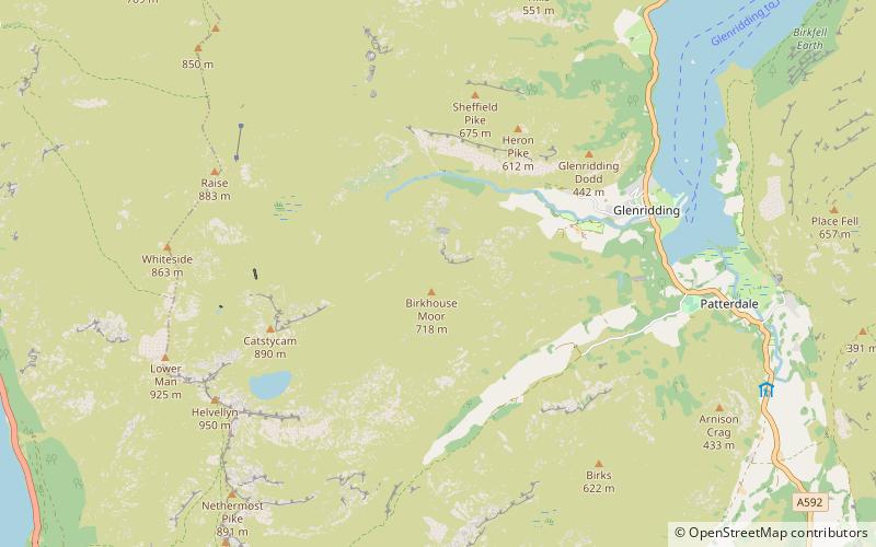
Map
Map
Gallery
Facts and practical information
Birkhouse Moor is a fell in the English Lake District, an outlier of the Helvellyn range in the Eastern Fells. It is properly an eastern ridge of Helvellyn, but was treated as a separate fell by Alfred Wainwright in his Pictorial Guide to the Lakeland Fells. That convention is followed here. ()
Elevation: 2356 ftProminence: 66 ftCoordinates: 54°32'19"N, 2°58'57"W
Address
Grasmere
ContactAdd
Social media
Add
Day trips


