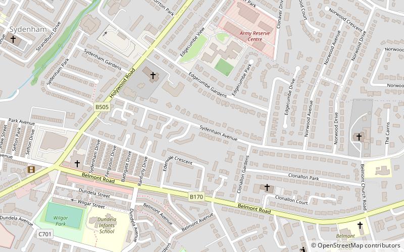
Strandtown, Belfast
Map
Facts and practical information
Strandtown is a district of Belfast. It is in the east of the city, in the BT4 postcode area, lying south of the City Airport and north of the Newtownards Road. ()
Coordinates: 54°36'6"N, 5°52'21"W
Getting there by public transportation
Public transportation stops near this location
- Train
 Train
Train
- Calculate routeSydenham 15 min walk
Day trips


Frequently Asked Questions (FAQ)
Which popular attractions are close to Strandtown?
Nearby attractions include Victoria Park, Belfast (18 min walk), CS Lewis Square, Belfast (20 min walk), Connswater Community Greenway, Belfast (22 min walk).
How to get to Strandtown by public transport?
The nearest stations to Strandtown:
Train
Train
- Sydenham (15 min walk)