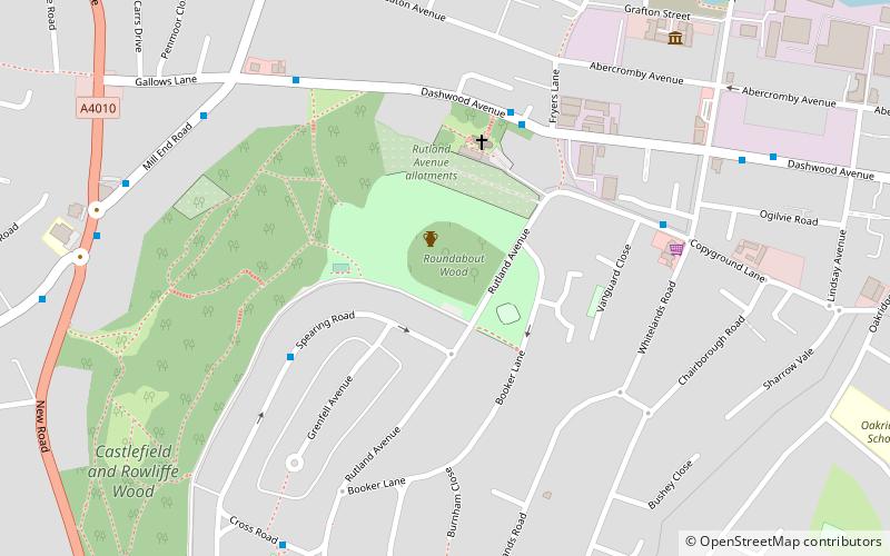
Desborough Castle, High Wycombe
Map

Map

Facts and practical information
Desborough Castle is an Iron Age hill fort which lies on the southern side of the valley of the River Wye in Buckinghamshire, which runs through the Chiltern Hills from The Ridgeway and Vale of Aylesbury to the river Thames. ()
Coordinates: 51°37'56"N, 0°46'39"W
Address
High Wycombe
ContactAdd
Social media
Add
Day trips
Desborough Castle – popular in the area (distance from the attraction)
Nearby attractions include: Eden, West Wycombe Park, Adams Park, Hellfire Caves.
Frequently Asked Questions (FAQ)
Which popular attractions are close to Desborough Castle?
Nearby attractions include St Mary and St George Church, High Wycombe (2 min walk), Living Chair Museum, High Wycombe (15 min walk), Chairborough Road, High Wycombe (15 min walk).
How to get to Desborough Castle by public transport?
The nearest stations to Desborough Castle:
Bus
Bus
- Prestwood Close • Lines: 32, 48 (4 min walk)
- Dashwood Avenue • Lines: 32, 48 (6 min walk)


