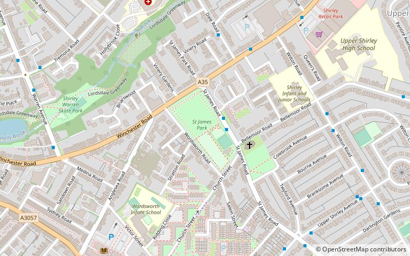
St James Park, Southampton
Map

Map

Facts and practical information
St James' Park, Southampton is a recreational area situated in the district of Shirley, Southampton opposite St James' Church, Southampton. It is adjacent to Winchester Road and surrounded by housing, some of it dating from the mid Victorian Period. It is supported by The Friends Of St James' Park who run a cafe and organise community events. ()
Elevation: 89 ft a.s.l.Coordinates: 50°55'38"N, 1°25'48"W
Day trips
St James Park – popular in the area (distance from the attraction)
Nearby attractions include: Titanic Engineers' Memorial, Southampton Old Cemetery, Southampton Common, Watts Park.
Frequently Asked Questions (FAQ)
Which popular attractions are close to St James Park?
Nearby attractions include Shirley Parish Church, Southampton (3 min walk), Shirley, Southampton (8 min walk), Shirley Baptist Church, Southampton (9 min walk), Hollybrook Cemetery, Southampton (16 min walk).
How to get to St James Park by public transport?
The nearest stations to St James Park:
Bus
Train
Bus
- St James Park • Lines: U9 (1 min walk)
- Dale Road • Lines: U9 (5 min walk)
Train
- Millbrook (28 min walk)


