Bwrdd Arthur, Anglesey
Map

Map

Facts and practical information
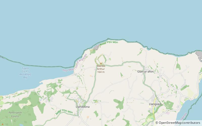
Bwrdd Arthur, also known as Din Sylwy, is a 164 metres flat-topped limestone hill on the island of Anglesey. Located on the eastern end of Red Wharf Bay, some 3 kilometres north west of Llangoed, it is noteworthy from the evidence of pre-historic occupation and as a Site of Special Scientific Interest designated for its botanical interest. ()
Area: 43.61 acres (0.0681 mi²)Coordinates: 53°18'35"N, 4°7'27"W
Address
Anglesey
ContactAdd
Social media
Add
Day trips
Bwrdd Arthur – popular in the area (distance from the attraction)
Nearby attractions include: St Iestyn's Church, St Dona's Church, Llanddona fish weir, St Michael's Church.
Frequently Asked Questions (FAQ)
Which popular attractions are close to Bwrdd Arthur?
Nearby attractions include St Michael's Church, Anglesey (5 min walk), St Dona's Church, Llanddona (20 min walk), Llanddona fish weir, Anglesey (22 min walk).


