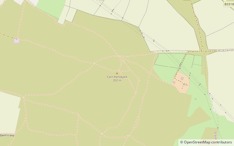
Carn Kenidjack, Pendeen

Gallery (1)
Map
Map
Facts and practical information
Carn Kenidjack is a hill in Tregeseal, Cornwall, England, UK. It is covered in megaliths including Tregeseal East stone circle. ()
Elevation: 663 ftCoordinates: 50°8'21"N, 5°39'25"W
Getting there by public transportation
Public transportation stops near this location
- Bus
 Bus
Bus
- Calculate routeLower Boscaswell 33 min walk
- Calculate routeSt Just Terminus 39 min walk
- Calculate routeSt Just 39 min walk
Day trips


Frequently Asked Questions (FAQ)
How to get to Carn Kenidjack by public transport?
The nearest stations to Carn Kenidjack:
Bus
Bus
- Lower Boscaswell • Lines: A17 (33 min walk)
- St Just Terminus • Lines: 8 (39 min walk)