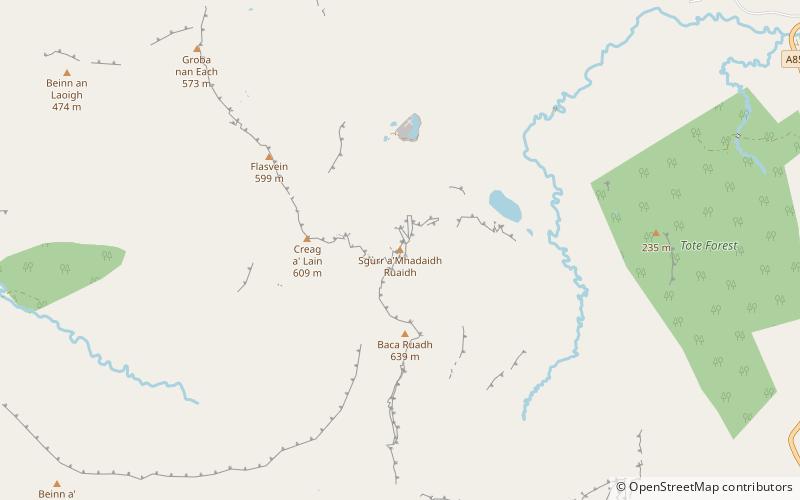
Sgùrr a' Mhadaidh Ruaidh, Isle of Skye
Map

Map

Facts and practical information
Sgùrr a' Mhadaidh Ruaidh is a summit in the Trotternish range of hills in the north of the Isle of Skye, Scotland. It is located about ten kilometres south-east of Uig, and 15 kilometres north of Portree, at the point where the long ridge running from north to south down the Trotternish peninsula loops suddenly eastward. It is 593 m high, and its grid reference is NG474584. ()
Coordinates: 57°32'43"N, 6°13'26"W
Address
Isle of Skye
ContactAdd
Social media
Add
Day trips
Sgùrr a' Mhadaidh Ruaidh – popular in the area (distance from the attraction)
Nearby attractions include: Hartaval, The Storr, Uig Tower, Loch Mealt.


