King's Lynn and West Norfolk, King's Lynn

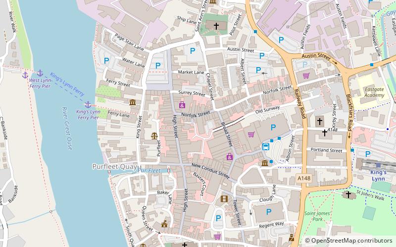
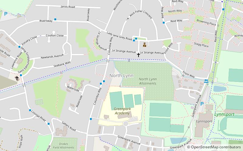
Map
Facts and practical information
King's Lynn and West Norfolk is a local government district and borough in Norfolk, England. Its council is based in the town of King's Lynn. The population of the Local Authority at the 2011 Census was 147,451. ()
Day trips
King's Lynn and West Norfolk – popular in the area (distance from the attraction)
Nearby attractions include: Guildhall of St George, King's Lynn Minster, King's Lynn Guildhall, Majestic Cinema.
Frequently Asked Questions (FAQ)
Which popular attractions are close to King's Lynn and West Norfolk?
Nearby attractions include Guildhall of St George, King's Lynn (4 min walk), King's Lynn Guildhall, King's Lynn (6 min walk), King's Lynn Minster, King's Lynn (6 min walk), True's Yard Fisherfolk Museum, King's Lynn (6 min walk).
How to get to King's Lynn and West Norfolk by public transport?
The nearest stations to King's Lynn and West Norfolk:
Bus
Train
Bus
- Bus Station, Stand A • Lines: 46 (4 min walk)
- King's Lynn Bus Station (4 min walk)
Train
- King's Lynn (9 min walk)


