Queens Park, Aylesbury
Map

Gallery

Facts and practical information
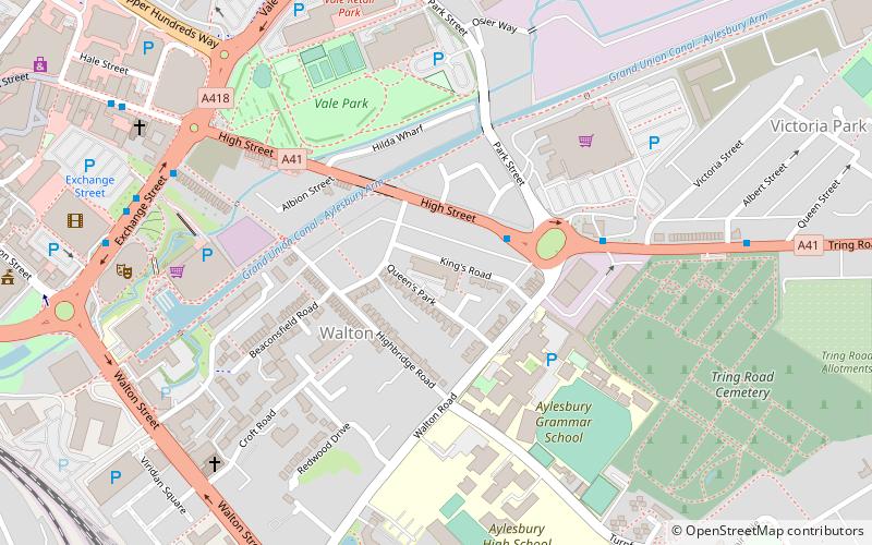
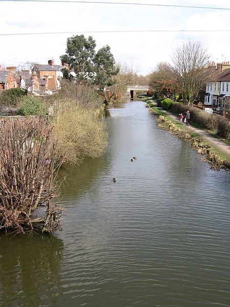
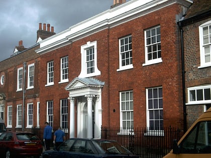
Queens Park is a late Victorian and early Edwardian area of Aylesbury in Buckinghamshire, England. It was one of the first developments outside the historic centre of the town, lying just south of the Aylesbury branch of the Grand Union Canal. Queens Park is mainly made up of terraced cottages with the occasional later semi-detached or detached property. Non-residential property is limited to the Queens Park Centre, a local arts and crafts venue, and the Millwrights public house. ()
Coordinates: 51°48'53"N, 0°48'12"W
Day trips
Queens Park – popular in the area (distance from the attraction)
Nearby attractions include: Friars Square, Buckinghamshire County Museum, Aylesbury Waterside Theatre, St Mary the Virgin's Church.
Frequently Asked Questions (FAQ)
Which popular attractions are close to Queens Park?
Nearby attractions include Waterside Theatre, Aylesbury (7 min walk), Statue of David Bowie, Aylesbury (10 min walk), Aylesbury Town Hall, Aylesbury (10 min walk), Aylesbury Clock Tower, Aylesbury (11 min walk).
How to get to Queens Park by public transport?
The nearest stations to Queens Park:
Bus
Train
Bus
- Aylesbury Bus Station • Lines: 280, 7 (11 min walk)
- Railway Station • Lines: 7 (13 min walk)
Train
- Aylesbury (13 min walk)


