Harrington Bridge, Shardlow
Map

Map

Facts and practical information
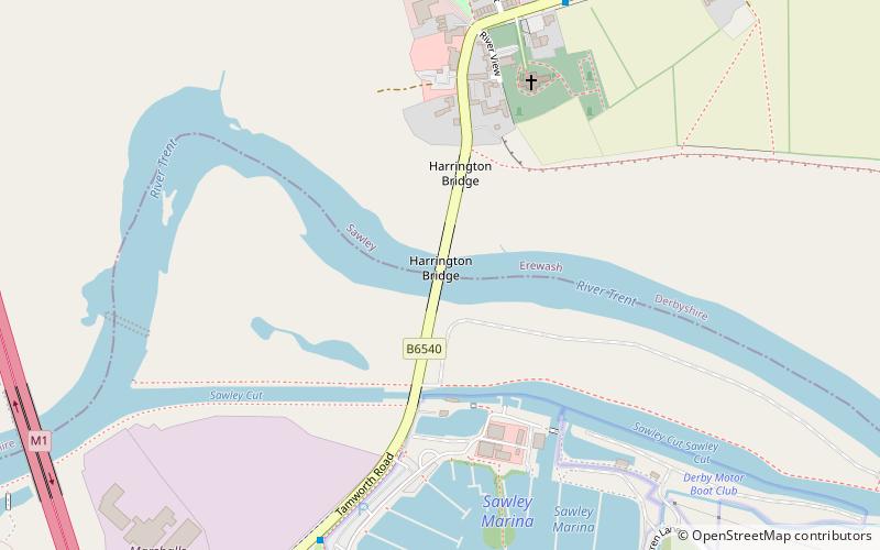
Harrington Bridge crosses the River Trent near Sawley in Derbyshire carrying the Tamworth Road into Leicestershire. The stonework of the bridge dates from 1790, but the central section was replaced in 1905 after it was damaged by flood water. The central section is the only part of the bridge that is not a listed building. ()
Opened: 1790 (236 years ago)Coordinates: 52°52'31"N, 1°18'4"W
Address
Shardlow
ContactAdd
Social media
Add
Day trips
Harrington Bridge – popular in the area (distance from the attraction)
Nearby attractions include: St James' Church, St Winifred's Church, All Saints Church, Thrumpton, All Saints' Church.
Frequently Asked Questions (FAQ)
How to get to Harrington Bridge by public transport?
The nearest stations to Harrington Bridge:
Bus
Train
Bus
- Sawley Marina • Lines: Skylink (7 min walk)
- Old Sawley Square • Lines: Skylink (7 min walk)
Train
- Long Eaton (23 min walk)


