Walton Castle
Map

Map

Facts and practical information
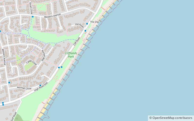
Walton Castle was a Saxon Shore Fort in the Roman province of Britannia. The fort was reused by the Normans who used it as the bailey for a castle. It stood 30 metres above sea level but was destroyed by coastal erosion in the 18th century. It was located in the village of Walton, Suffolk, now part of Felixstowe. ()
Coordinates: 51°58'18"N, 1°22'46"E
Location
England
ContactAdd
Social media
Add
Day trips
Walton Castle – popular in the area (distance from the attraction)
Nearby attractions include: Felixstowe Ferry Golf Club, High Lighthouse, Electric Palace Cinema, Landguard Fort.


