Clayrack Drainage Mill, Norfolk Broads
Map

Map

Facts and practical information
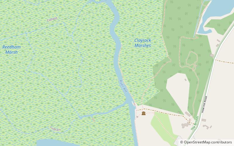
Clayrack Drainage Windmill is located at How Hill in the English county of Norfolk. It is on the east bank of the River Ant close to How Hill, a large Edwardian building which houses the Norfolk Broads Study Centre. The Drainage mill is 1¾ miles west of the village of Ludham. ()
Coordinates: 52°43'10"N, 1°30'23"E
Address
Norfolk Broads
ContactAdd
Social media
Add
Day trips
Clayrack Drainage Mill – popular in the area (distance from the attraction)
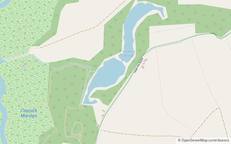
Nearby attractions include: How Hill, Boardman's Windmill, Crome's Broad, Alderfen Broad.
Frequently Asked Questions (FAQ)
Which popular attractions are close to Clayrack Drainage Mill?
Nearby attractions include Boardman's Windmill, Norfolk Broads (1 min walk), How Hill, Norfolk Broads (8 min walk), Crome's Broad, Norfolk Broads (11 min walk).


