Blunsdon, Swindon

Gallery (1)
Map
Map
Facts and practical information
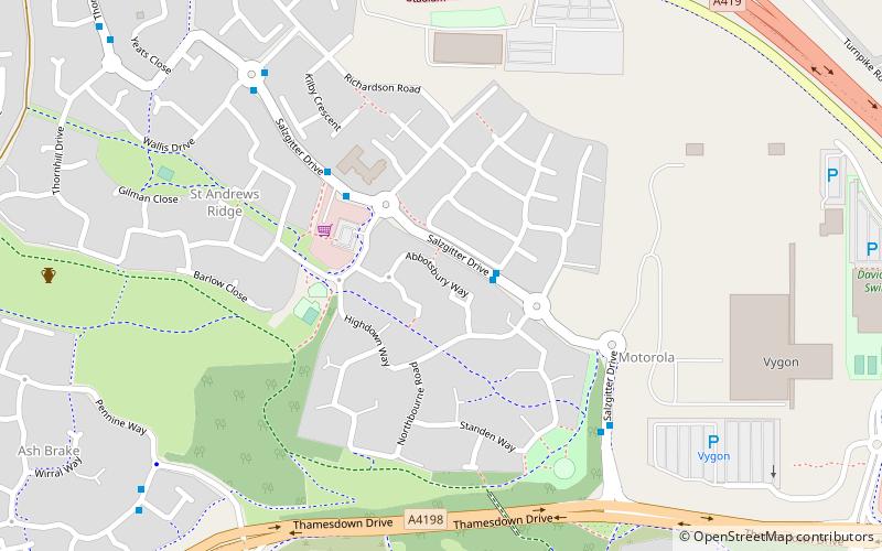
Blunsdon is a civil parish in the Borough of Swindon, England, about 4 miles north of the centre of Swindon, with the A419 forming its southern boundary. Its main settlement is the village of Broad Blunsdon, with Lower Blunsdon nearby; the hamlet of Broadbush is now contiguous with Broad Blunsdon. ()
Getting there by public transportation
Public transportation stops near this location
- Bus
 Bus
Bus
- Calculate routeManor Farm 22 min walk
- Calculate routeRother Close 26 min walk
- Calculate routeFurlong Close 27 min walk
Day trips


Frequently Asked Questions (FAQ)
How to get to Blunsdon by public transport?
The nearest stations to Blunsdon:
Bus
Bus
- Manor Farm • Lines: 11 (22 min walk)
- Rother Close • Lines: 11 (26 min walk)