Mynydd Bodafon, Moelfre

Gallery (1)
Map
Map
Facts and practical information
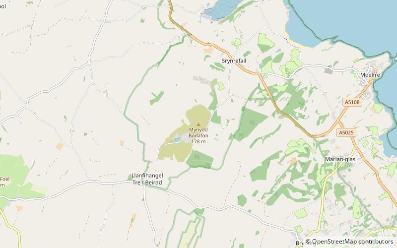
Mynydd Bodafon is a small collection of peaks including the Arwydd which is the highest point on the island of Anglesey. It lies about 2½ miles west of the coastal town of Moelfre and ⅔ of a mile south-west of the hamlet of Brynrefail. The meaning of Bodafon is obscure. Bod is a common placename element meaning 'dwelling' and afon here is probably a corruption of the personal name Addan. ()
Elevation: 584 ftProminence: 584 ftCoordinates: 53°20'37"N, 4°17'46"W
Address
Moelfre
ContactAdd
Social media
Add
Day trips


