Arreton Down, Isle of Wight
Map

Gallery

Facts and practical information
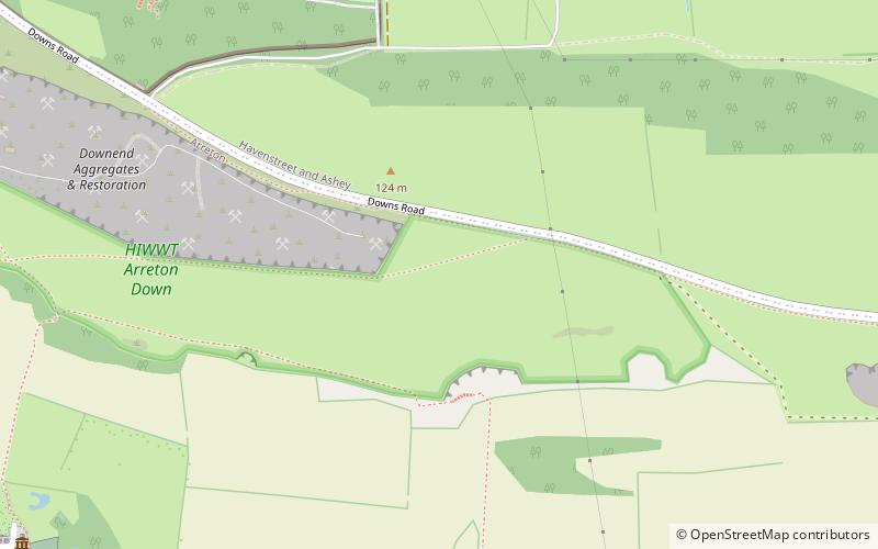
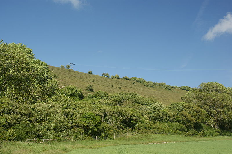
Arreton Down is a 29.77 hectare biological Site of Special Scientific Interest on the Isle of Wight, originally notified in 1979 for its geological interest and then renotified in 1987, but for its biological interest only. It is public access land and popular with early morning dog walkers, who park near the chalk pit entrance. The land is marked by extensive ancient field features as yet unexcavated. ()
Coordinates: 50°40'55"N, 1°14'13"W
Address
Isle of Wight
ContactAdd
Social media
Add
Day trips
Arreton Down – popular in the area (distance from the attraction)
Nearby attractions include: Arreton Manor, Robin Hill Country Park, Great East Standen Manor, St George's Church.
Frequently Asked Questions (FAQ)
Which popular attractions are close to Arreton Down?
Nearby attractions include St George's Church, Isle of Wight (9 min walk), Robin Hill Country Park, Isle of Wight (12 min walk), Arreton Manor, Isle of Wight (13 min walk).
How to get to Arreton Down by public transport?
The nearest stations to Arreton Down:
Bus
Bus
- Downs Road • Lines: Former Newport>Newchurch>Shankli, Former Shanklin>Newchurch>Newpor (13 min walk)
- Arreton School • Lines: 8 (13 min walk)


