Cornish Way, Bude

Map
Facts and practical information
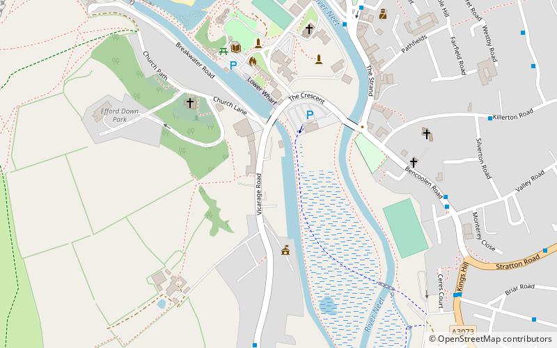
The Cornish Way is a cycle route which is part of the National Cycle Network that links Bude to Land's End. The route is via Padstow or St Austell and is 180 miles in length. ()
Coordinates: 50°49'34"N, 4°32'49"W
Address
Bude
ContactAdd
Social media
Add
Day trips
Cornish Way – popular in the area (distance from the attraction)
Nearby attractions include: Bude Sea Pool, St Michael and All Angels Church, The Castle Bude, Atlantic Glass Studio.
Frequently Asked Questions (FAQ)
Which popular attractions are close to Cornish Way?
Nearby attractions include Atlantic Glass Studio, Bude (4 min walk), St Michael and All Angels Church, Bude (4 min walk), The Castle Bude, Bude (9 min walk).


