Sambo's Grave, Lancaster
Map

Map

Facts and practical information
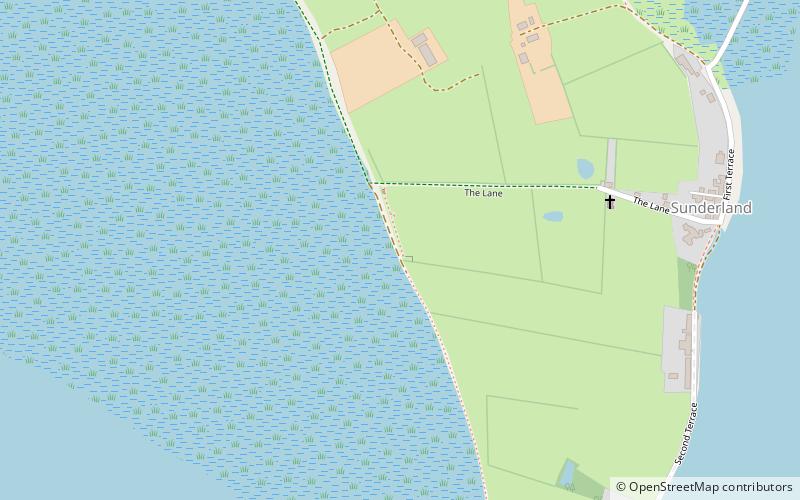
Sambo's Grave is the burial site of a dark-skinned cabin boy or slave, on unconsecrated ground in a field near the small village of Sunderland Point, near Heysham and Overton, Lancashire, North West England. Sunderland Point was a port, serving cotton, sugar and slave ships from the West Indies and North America, which declined after Glasson Dock was opened in 1787. It is a very small community only accessible via a narrow road, which crosses a salt marsh and is cut off at high tide. ()
Coordinates: 53°59'47"N, 2°52'58"W
Address
Lancaster
ContactAdd
Social media
Add
Day trips
Sambo's Grave – popular in the area (distance from the attraction)
Nearby attractions include: Ashton Hall, Globe Arena, Plover Scar Lighthouse, Christ Church.


