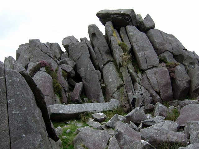
Carn Menyn, Pembrokeshire Coast National Park

Gallery (3)
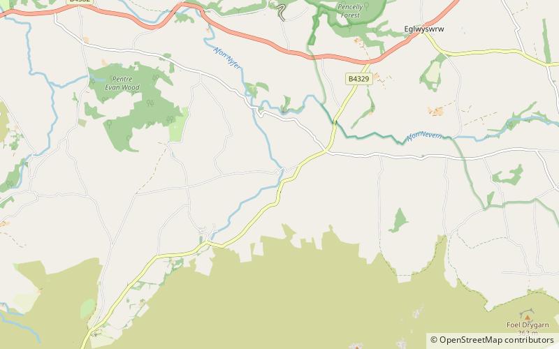
Map
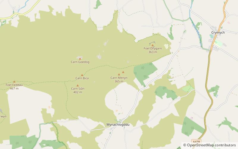
Map
Gallery
Facts and practical information
Carn Menyn is a grouping of craggy rock outcrops or tors in the Preseli Hills in the Welsh county of Pembrokeshire. ()
Elevation: 1198 ftProminence: 157 ftCoordinates: 51°57'35"N, 4°42'10"W
Address
Pembrokeshire Coast National Park
ContactAdd
Social media
Add
Day trips