Vignoles Bridge, Coventry

Gallery (1)
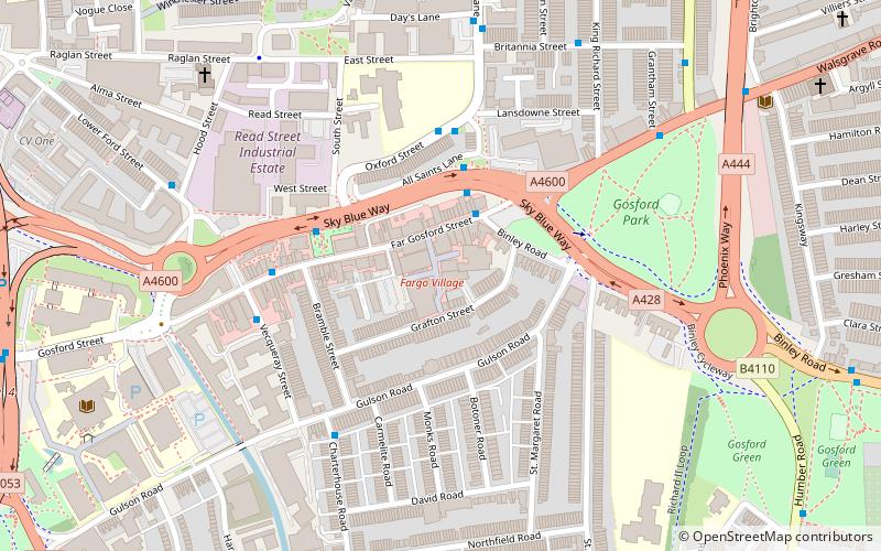
Map
Map
Facts and practical information
Vignoles Bridge is a scheduled monument in the City of Coventry in the West Midlands of England. The bridge is a single-span iron footbridge over the River Sherbourne in the Spon End area, just to the west of Coventry city centre and 100 metres west-north-west of Sherbourne House. ()
Opened: 1835 (189 years ago)Coordinates: 52°24'24"N, 1°31'15"W
Address
North West Coventry (Sherbourne)Coventry
ContactAdd
Social media
Add
Getting there by public transportation
Public transportation stops near this location
- Bus
- Train
 Bus
Bus
- Calculate routeButts Radial Link / Albany Rd 3 min walk
- Calculate routeAlbany Rd / City College 4 min walk
- Calculate routeCr4 5 min walk
- Calculate routeCr1 5 min walk
- Calculate routeCoventry 13 min walk
- Calculate routeCanley 32 min walk
Day trips


Frequently Asked Questions (FAQ)
Which popular attractions are close to Vignoles Bridge?
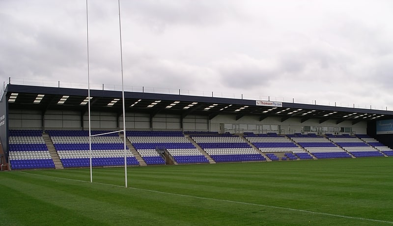
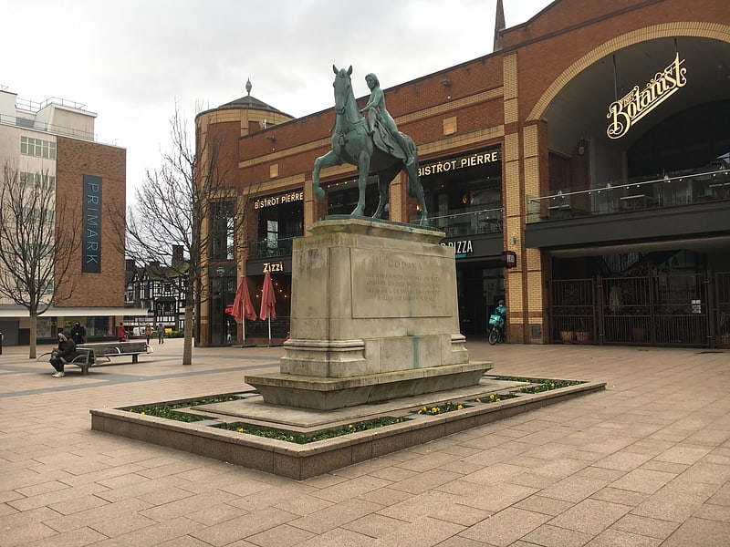
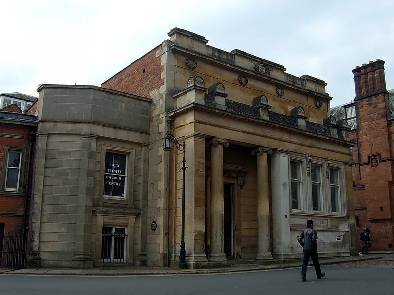
Nearby attractions include St Thomas' Church, Coventry (4 min walk), Spon Street, Coventry (5 min walk), Butts Park Arena, Coventry (6 min walk), Queens Road Baptist Church, Coventry (7 min walk).
How to get to Vignoles Bridge by public transport?
The nearest stations to Vignoles Bridge:
Bus
Train
Bus
- Butts Radial Link / Albany Rd • Lines: 1, 14, 14A, 18, 18A, 2, 47, 6, 6A (3 min walk)
- Albany Rd / City College • Lines: 1, 2 (4 min walk)
Train
- Coventry (13 min walk)
- Canley (32 min walk)