Stowe's Hill, Redlake Meadows & Hoggs Moor

Gallery (1)
Map
Map
Facts and practical information
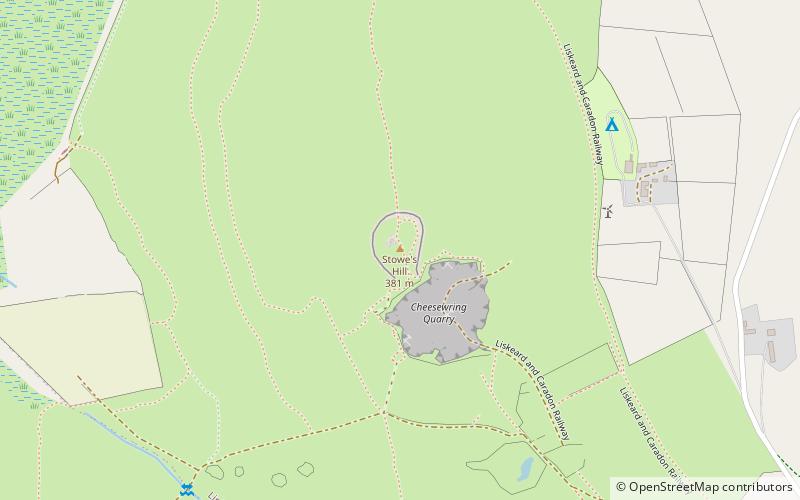
Stowe's Hill is an elongated hill, 381 metres high, located on the eastern edge of Bodmin Moor in the county of Cornwall, England. ()
Elevation: 1250 ftProminence: 256 ftCoordinates: 50°31'34"N, 4°27'33"W
Address
Redlake Meadows & Hoggs Moor
ContactAdd
Social media
Add
Day trips


Frequently Asked Questions (FAQ)
Which popular attractions are close to Stowe's Hill?
Nearby attractions include Cheesewring, Bodmin (2 min walk), Kilmar Tor, Redlake Meadows & Hoggs Moor (16 min walk), The Pipers, Redlake Meadows & Hoggs Moor (18 min walk), The Hurlers, Liskeard (22 min walk).