Loch Tummel
Map

Gallery

Facts and practical information
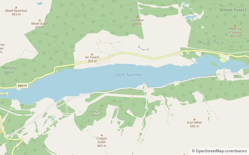
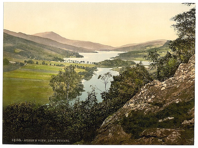
Loch Tummel is a long, narrow loch, seven kilometres northwest of Pitlochry in the council area of Perth and Kinross, Scotland. It is fed and drained by the River Tummel, which flows into the River Tay about 13 km south-east of the Clunie Dam at the loch's eastern end. ()
Alternative names: Length: 7 miWidth: 5280 ftMaximum depth: 145 ftElevation: 472 ft a.s.l.Coordinates: 56°42'39"N, 3°55'45"W
Location
Scotland
ContactAdd
Social media
Add
Day trips
Loch Tummel – popular in the area (distance from the attraction)
Nearby attractions include: Falls of Bruar, Blair Castle, Blair Atholl Garage, Creag Odhar.


