Dun Vulan, South Uist
#5 among attractions in South Uist
![Dun Vulan location map](https://tzmedia.b-cdn.net/media/images/static-maps/gb/57_2406_-7_44918.jpg)
Facts and practical information
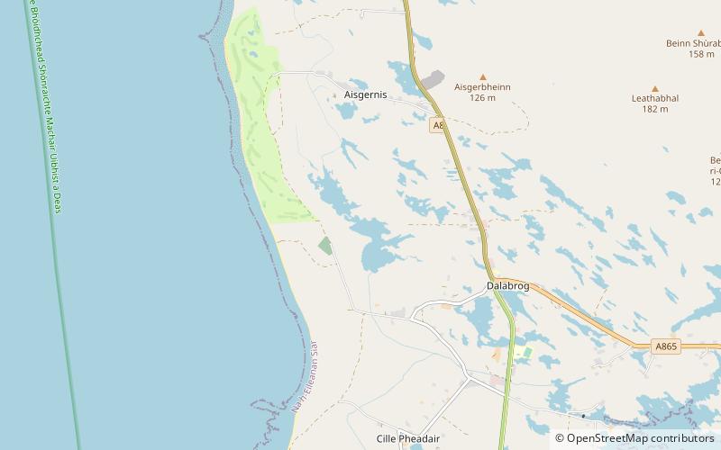
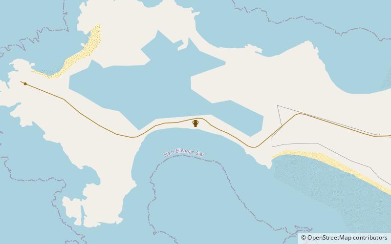
Dun Vulan Broch is an Iron Age broch in South Uist, Scotland. ()
South Uist plan & book
Unleash the traveler in you — discover the cheapest flight deals, find the perfect hotel or hostel nearby, and search for the best car rental prices. Travel at your own pace to discover new places and enjoy your journey.
Dun Vulan – popular in the area (distance from the attraction)
Nearby attractions include: Loch Hallan, Ormacleit Castle, Cladh Hallan, Bornish.
5 miSELakeLoch Hallan, South Uist
128 min walk • Loch Hallan is a loch in the Outer Hebrides, Scotland. It is located in the parish of South Uist, approximately 1 mile south of Askernish and half a mile northwest of Daliburgh.
2 miNEForts and castlesOrmacleit Castle, South Uist
52 min walk • Ormacleit Castle is a ruined mansion house of the early 18th century. It is located on South Uist in the Western Isles of Scotland. It was built in the early years of the 18th century by Allan Macdonald, chief of Clanranald, and occupied from 1707.
5 miSArchaeological siteCladh Hallan, South Uist
127 min walk • Cladh Hallan is an archaeological site on the island of South Uist in the Outer Hebrides in Scotland. It is significant as the only place in Great Britain where prehistoric mummies have been found.
1.6 miEVillageBornish, South Uist
42 min walk • Bornish is a village and community council area on South Uist in the Outer Hebrides, Scotland. Bornish is also within the civil parish of South Uist. The A865 passes through Bornish, on the route between Lochmaddy and Lochboisdale.
5.8 miSEChurchDaliburgh, South Uist
148 min walk • Daliburgh is a crofting township on South Uist, in the Outer Hebrides, Scotland. Daliburgh is situated 1+1⁄2 miles west from Lochboisdale, has the second largest population of any township in South Uist, and is also in the parish of South Uist.
6.4 miNENational parkLoch Druidibeg
163 min walk • Loch Druidibeag is a freshwater loch situated on the island of South Uist, in the Outer Hebrides of Scotland. The loch is near the northern end of the island, to the north-east of Howmore and to the east of the A865 road and south of the B890.
5.8 miENature, Natural attraction, MountainBeinn Mhòr, South Uist
148 min walk • Beinn Mhòr is a mountain on the island of South Uist in the Outer Hebrides of Scotland. With a height of 620 metres, it is the highest point on the island. The name Beinn Mhòr is Gaelic for "big mountain". The correct name for the mountain in Gaelic is Gèideabhal.