Oxleys Wood, Hatfield
Map

Map

Facts and practical information
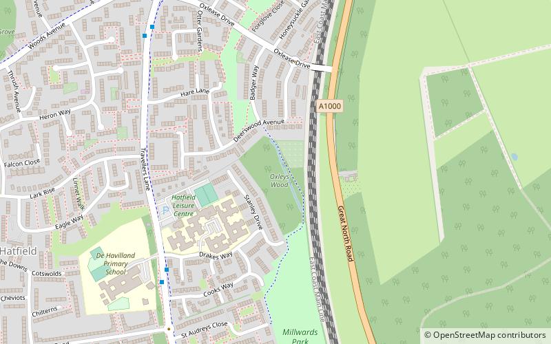
Oxleys Wood is a 1.2 hectare Local Nature Reserve in Hatfield in Hertfordshire. The declaring authority is Welwyn Hatfield Borough Council. The wood floods in wet weather, particularly the northern part, which has a pond. Tree species include oak, ash, elm and willow, and they provide a habitat for insects which provide food for birds. ()
Elevation: 292 ft a.s.l.Coordinates: 51°45'3"N, 0°13'24"W
Address
Hatfield
ContactAdd
Social media
Add
Day trips
Oxleys Wood – popular in the area (distance from the attraction)
Nearby attractions include: The Galleria, Hatfield House, The Red Lion, Statue of Robert Gascoyne-Cecil.
Frequently Asked Questions (FAQ)
Which popular attractions are close to Oxleys Wood?
Nearby attractions include Howe Dell, Hatfield (12 min walk), Hatfield Park Farm, Hatfield (17 min walk), University of Hertfordshire, Hatfield (18 min walk), HIBT, Hatfield (19 min walk).
How to get to Oxleys Wood by public transport?
The nearest stations to Oxleys Wood:
Bus
Train
Bus
- Cooks Way • Lines: 303, 610 (6 min walk)
- Oxlease Drive • Lines: 303, 610 (7 min walk)
Train
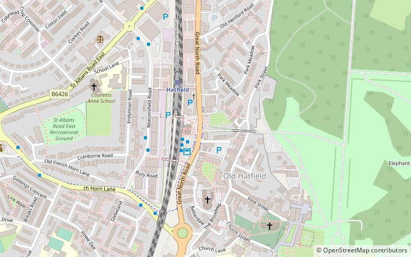
- Hatfield (26 min walk)
- Welham Green (29 min walk)


