Wotton Hill, Wotton-under-Edge
Map

Map

Facts and practical information
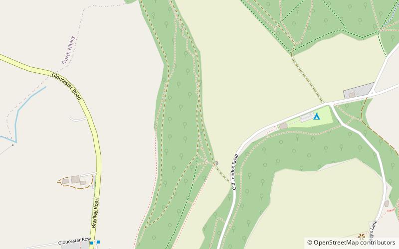
Wotton Hill is a hill on the edge of the Cotswold Hills in Gloucestershire, England, 0.5 miles north of Wotton-under-Edge. The Cotswold Way passes over the hill. ()
Coordinates: 51°38'47"N, 2°21'28"W
Address
Wotton-under-Edge
ContactAdd
Social media
Add
Day trips
Wotton Hill – popular in the area (distance from the attraction)
Nearby attractions include: St. Mary the Virgin Church, Tyndale Monument, Ancient Ram Inn, Nibley Knoll.
Frequently Asked Questions (FAQ)
Which popular attractions are close to Wotton Hill?
Nearby attractions include Coombe Hill, Wotton-under-Edge (16 min walk), Fish out of Water, Wotton-under-Edge (17 min walk), St. Mary the Virgin Church, Wotton-under-Edge (17 min walk), Wotton Heritage Centre, Wotton-under-Edge (18 min walk).


